Representative End User Clients


Representative Automation Clients
Representative Software Clients


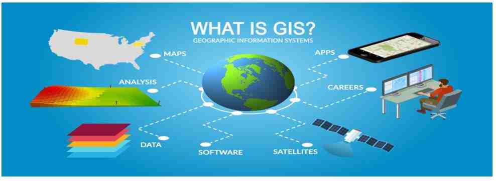
A geographic information system (GIS) is a class of databases that includes tools for managing, analyzing, and visualizing geographic data. A system like this might be thought of in a larger sense to encompass institutional organizations, protocols, workflows, a body of knowledge on pertinent concepts, and human users and support workers.

Benefits of Location Technology: most of the place-based information in databases and spreadsheets is generated, measured, and analyzed using location technology. A user can easily view the information and patterns buried in the geographical data by using two-dimensional (2D) maps to illustrate the tabular data in their company.
Today, GIS is being used with the goal of promoting dialogue about geographic information system technology and the uses for it that are empowering communities all over the world. GIS brings government organizations, schools, non-profits, and GIS professionals together to advance GIS knowledge in their areas and foster an understanding of the world we live in. GIS is extremely crucial in today’s technologically connected world. With the quick development of technology and the rising use of cloud computing, GIS software today offers more advantages at a lower price.
In the coming years, several smart cities are expected to expand GIS use cases further for urban planning, disaster management, and transport management. The GIS industry is anticipated to grow in the future owing to cloud computing, artificial intelligence (AI), and machine learning (ML) combined with GIS analytics software.
For further details please click on this link: Geospatial Information Systems